

Project-Syncline
Patanpiss Syncline
Patanpiss syncline is located in Sistan and Baluchistan province, 100 km northwest of Chabahar, 86 km southeast of Qasr-e-Qand and about 42 km southwest of Nikshahr. The area of Patanpiss syncline, with a depth to be about 20 meters, is 27 square kilometers. According to the satellite images, most of runoff on the banks of syncline is transported to the eastern nose of syncline through drainages and rivers parallel to the southern flanks of syncline. Mentioned runoffs are finally joined and flow into the Oman Sea after 100 km around Hiktakan region. Along the way, different villages take advantage of these surface waters and especially groundwaters, which are fed from northern upstream areas such as Patanpiss syncline. In fact, a large part of the atmospheric waters enters the permeable layers of the upstream anticline and syncline and eventually feeds the groundwater aquifers in downstream areas towards the Oman Sea. However, controlling extensive runoffs, which is common in the region, can further feed these underground reservoirs.


Patanpiss syncline is structurally suitable for rainwater harvesting. Among the advantages of Patanpiss reservoir is that the reservoir bed is lower than adjacent rivers. Such that the height of the adjacent rivers bed is 238 meters above the sea level; while the height of the syncline bed is 190 meters above sea level that is the most important advantage of the syncline. Water is gravitaionally transfered to the syncline and the cost of water transportation will be greatly reduced in this area. an earthen dam with a length of 250 meters and a height of at least 20 meters should be constructed in order to store this volume of water in the reservoir, which is located at a height of 220 meters above the sea level.
Stratigraphy point of view, Patanpiss syncline is composed of three major rock units from the outside to the inside, which are as follows:
The first unit: white-olive marl intercalated with thin sandstone layers
The second unit: brown sandstone unit intercalated with sandy marl
The third unit: upper marl unit intercalated with thin sandstone
No significant fault is observed inside the syncline and prominence of some marl units is due to river erosion. However, structural point of view, it seems that more detailed studies is required.
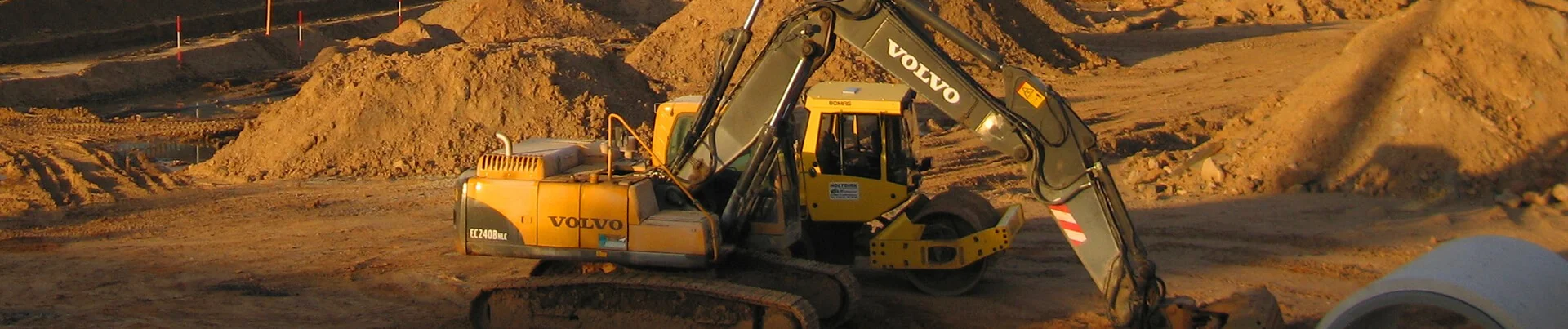
Syncline is accessible through a drainage, which has already been introduced as second trench. This route is appropriate for drilling trenches and roads or canals into the syncline and its drilling cost is not too much. Because only at the beginning and the end of the routh, each of them is to be about 50 meters (the beginning and the end of unit 2), it is required to remove stones and soil by an excavator.Therefore, the volume and cost of excavation will not be high. Considering the alternation of sandstone with sandy marl and the presence of many fractures in this rock unit, it does not seem necessary to carry out blasting operations.